Home |
About |
What's New |
Training |
Food |
Gear |
Journal |
Photos |
FAQ |
Links |
~Appalachian Trail Training Photos~
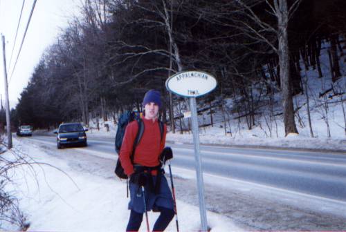
On January 20, 2001 I decided to take a short drive up to Kent, Connecticut to do a little AT hiking/ LT training. Kent is a small little town situated in such a way that the AT passes right through it. For this reason, it is a popular resupply/hangout for AT thru-hikers. In the middle of January, however, I had the trail pretty much all to my self walking in virgin snow most of the way.
Note- Click on the thumbnail photo for a full size version
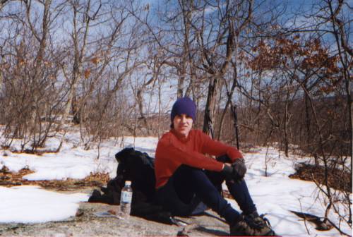
This is a self-portrait of myself (well actually all my pictures are self-portraits in which I set the camera on logs, stones, etc) sitting having a small snack at just one of the overlooks that I passed that day.
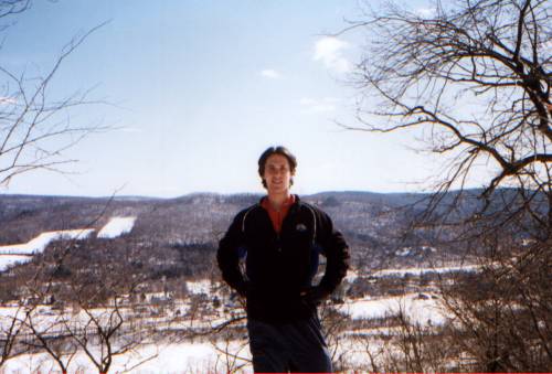
This is a shot of me at an overlook on the trail. In the background you can see the farmland that is opposite the ridge I hiked on and across Route 7 in Kent from the AT.
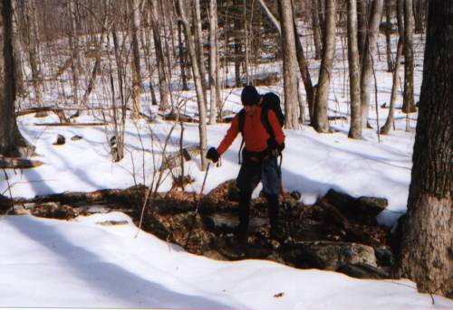
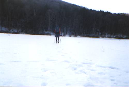
A shot of me hiking across a small brook on the north side of Fuller Mountain.
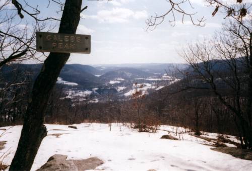
This is the sign and view at Caleb's Peak. This was my turn-around point for the day as well. If I were to hike town the north side of the mountain, I would have reached the famous St. John's Ledges which is essentially an incredibly steep and burly rock staircase with excellent views (I'll have to take a training hike there to show you).
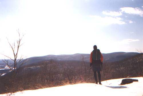
This is a portrait of myself looking out into Kent valley from Caleb's. I have another older picture from this exact location and there is a cairn (a rock pile to mark mountain peaks or the trail in treeless areas) in the old one and not in this one. I guess someone dismantled it!
Me walking through a cow pasture near Kent Prep School. In the summer you can see huge "cow pies" here as well as the grazing cows that produced them. I once met a thru-hiker here in the early morning who had plopped down right in the middle of the field to camp.